The AI geoscientist for subsurface decisions.
Expert-signed geothermal project assessments, delivered in days, not weeks. Built for lenders, insurers and developers.
- Every number sourced
- Physics-checked
- Expert-signed
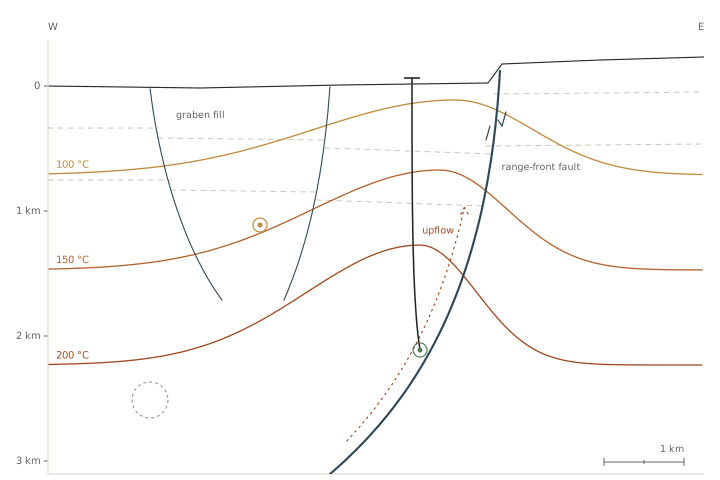
Subsurface risk decides the deal. Reviewing it is still slow.
Hundreds of pages, read by hand, before anyone can decide.
One dry well costs millions. Missed evidence costs more.
Every review starts at zero. Nothing carries over.
Send the data room. Get a signed assessment.
- Reservoir temperature above 180 °CWell report WR-2 · p.14verified
- Sustained flow rate of 85 kg/sFeasibility study · p.37contradictory
- Caprock continuous across the licenceNo source foundunsupported
- Fluid chemistry is non-scalingGeochemistry annex · p.6verified
- Reinjection capacity confirmedFeasibility study · p.52unsupported
Agents do the heavy lifting. A geoscientist has the final word.
A report built for investment committees.
- Resource temperatureSUPPORTED
- PermeabilityPARTIAL
- Fluid chemistrySUPPORTED
- ReinjectionWEAK
- Structural modelPARTIAL
- Data completenessPARTIAL
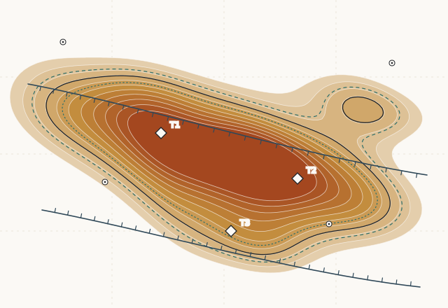 Fig. 3 - P50 with P05/P95 envelope. Illustrative.
Every report follows the same structure, so committees can compare projects side by side.
- 01Risk summary at a glance
- 02Claim-by-claim evidence with page references
- 03Key risks and missing data
- 04The next most valuable measurement
- 05Questions to ask the developer
- low → high
- P50
- P05 / P95
- ranked target
Know where to look before you drill.
Regional maps that show where geothermal potential is most likely, with uncertainty on every pixel. Part of every assessment, and licensable on its own.
Blind-tested.
Validated against known fields before any map ships.
Not just a chatbot.
Grounded in physics.
Backed by years of peer-reviewed geodynamics research, not guesswork.
Sharper with every project.
Each assessment makes the next one better.
Measured, not assumed.
Benchmarked against cases with known outcomes.
Agents plus experts.
Agents do the heavy reading. A senior geoscientist signs every report.
Evidence first.
- Sourced numbers only.
- Independent of the outcome.
- Uncertainty stated openly.
For everyone who carries drilling risk.
Lenders and funds
Faster, deeper technical due diligence.
Insurers and risk facilities
Consistent pre-assessment of drilling risk.
Developers
Stronger financing and licence applications.
Public programs
Screening at scale for risk-mitigation funds.
Have a geothermal project under review?
Share a data room and get a pilot assessment. It starts with a 20‑minute call.
Request a pilot